搜索
首页
读书
首页
读书
人文社科
韩非子集解 (中华国学文库)([清]王先慎)(中华书局 2013)
反馈
书名
韩非子集解 (中华国学文库)([清]王先慎)(中华书局 2013)
内容简介
书名:韩非子集解 (中华国学文库)
出版社:中华书局
作者:[清]王先慎
出版年份:2013
电子书格式:
pdf
简介:《韩非子集解》是清代著名学者王先慎对《韩非子》注释的精心整理。该书以清新简洁的语言,深入分析了《韩非子》中关于政治、军事、道德等方面的论点。王先慎的注释不仅提供了对原文的解释,还展现出他的哲学思想和历史观。该书是研究《韩非子》和清代学术发展的重要参考资料,适合学者和研究人员阅读。
ISBN:9787101091526, 71010
下载地址
下载韩非子集解 (中华国学文库)([清]王先慎)(中华书局 2013)
猜你喜欢
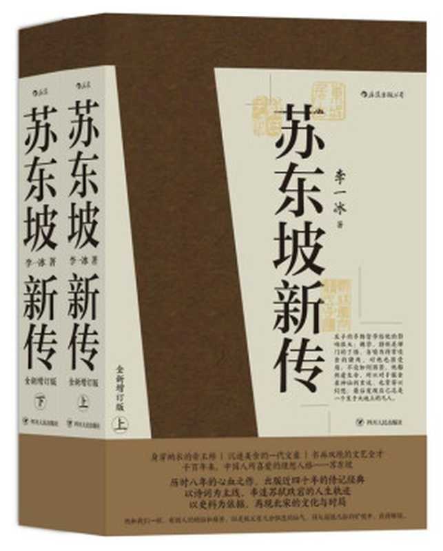
苏东坡新传(豆瓣评分9.7,余秋雨高度评价的传记经典,全新增订版。人生为何不快乐,只因未读苏东坡!)(李一冰)(成都:四川人民出版社 2020)
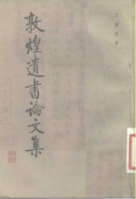
敦煌遗书论文集(王重民著)(北京:中华书局 1984)
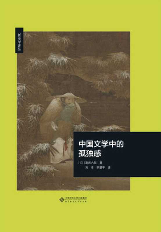
中国文学中的孤独感【日本汉学泰斗斯波六郎代表作,选取“孤独感”为关键词,遵循时代顺序,对中国文学史上重要作家进行细密解说!以敏锐的艺术感受力,将不同作家风格殊异的“孤独感”进行对比,阐发了中国文学在历史进程中的演变过程!】 (新史学译丛)(斯波六郎)(北京师范大学出版社 2020)
折狱龟鉴(繁体版) ([南宋]鄭克 )(2013)
壮族三月三(韦苏文,刘芬芬著)(漓江出版社 2018)
新序([汉] 刘向 著 ; 马世年 译注)(中华书局 2014)
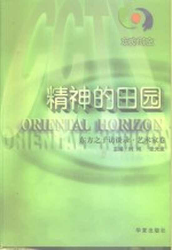
东方时空 精神的田园 东方之子访谈录·艺术家卷(时间 张光途)(华夏出版社 2000)
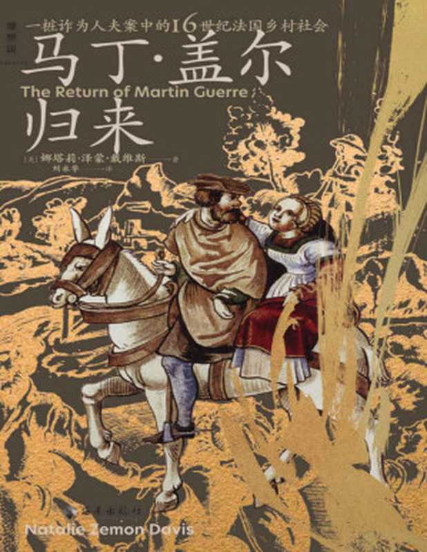
马丁·盖尔归来(具体到血肉与心灵的微观史书写,杰出史家化身福尔摩斯,揭开一桩诈为人夫案的谜团 理想国出品)(娜塔莉·泽蒙·戴维斯)(Tianlangbooks 2023)
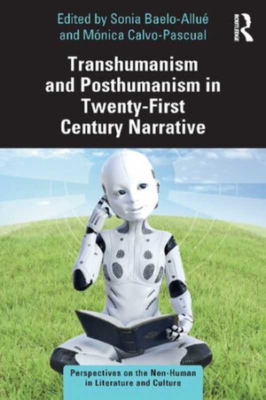
Transhumanism and Posthumanism in Twenty-First Century Narrative(Sonia Baelo-Allué and Mónica Calvo-Pascual)(Routledge 2021)
人生大舞台:样板戏”内部新闻(许晨)(黄河出版社 1989)
大家都喜欢
金田一探案集2021(絶版近10年,重磅归来!推理高峰典范,江户川乱步、青山刚昌推荐。惊骇悬念+诡秘人性,入坑推理佳选,一套10本过足瘾!精美和风装帧,日本系列销量超5500万册)(横沟正史)(壹页科技 2021)
PHP 7(Tutorials Point)(Tutorials Point 2016)
The Murder After the Night Before(Katy Brent)(HQ Digital 2024)
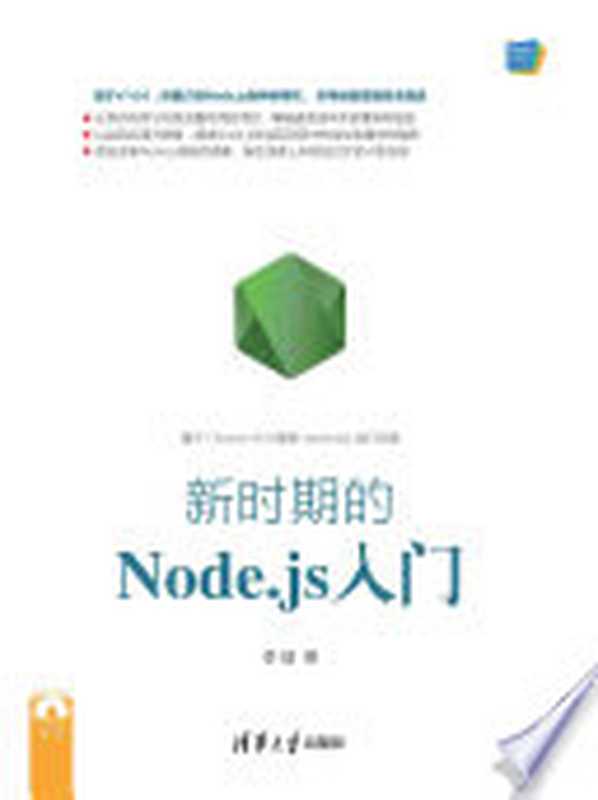
Web前端技术丛书:新时期的Node.js入门(李锴)(清华大学出版社 2017)
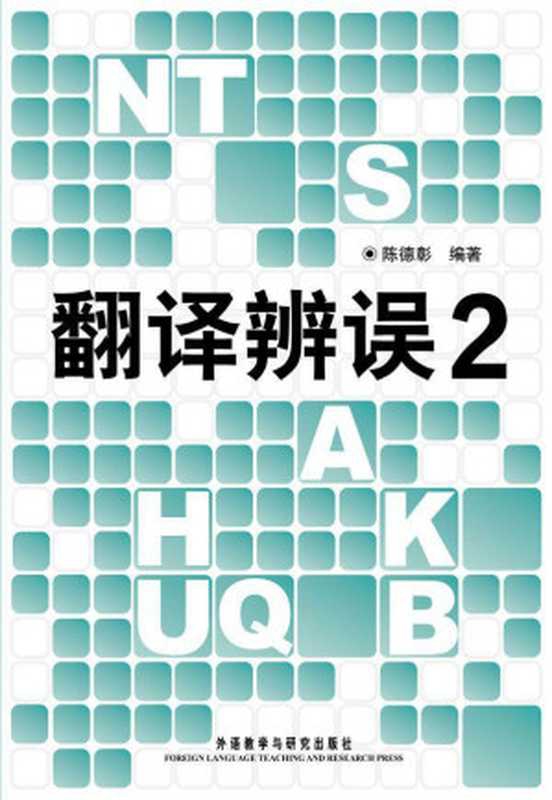
翻译辨误2(图文版)(陈德彰)(外语教学与研究出版社 2011)
《追寻逝去的时光》读本(最通透的普鲁斯特译本,“大跨度”节选七卷本,一字不易;附赠《普罗斯特纸上展览》)(【法】马塞尔•普鲁斯特,周克希译)(广西师范大学出版社 2015)
C#: 3 books in 1 – The Ultimate Beginner, Intermediate & Advanced Guides to Master C# Programming Quickly with No Experience(Mark Reed)(2022)
UG NX 10.0 数控加工教程(北京兆迪科技有限公司)(机械工业出版社 2016)
《现代信号处理》第二版(张贤达)
Children’s language: connecting reading, writing, and talk(Judith Wells Lindfors)(Teachers College Press 2008)
gRPC: Up and Running(Danesh Kuruppu, Kasun Indrasiri)(O’Reilly Media 2020)
身份的焦虑(译文经典)(【英】阿兰·德波顿)(Shanghai Translation Publishing House 2018)
张天翼小说(张天翼)(浙江文艺出版社 2010)
机器学习与应用(雷明)(清华大学出版社 2019)
自动化夹具图集 ((日)藤森洋三)(科学出版社 1982)
地球无应答(中国科幻银河奖最佳新人奖得主首部科幻短篇集!改良基因会不会带来灾难?置身未来,看时间空间合伙变魔术!)(王诺诺 [王诺诺])(湖南文艺出版社 2019)
6LoWPAN: The Wireless Embedded Internet (Wiley Series on Communications Networking & Distributed Systems)(Zach Shelby, Carsten Bormann)(Wiley 2010)
Wyrdwalkers: Techniques of Northern-Tradition Shamanism(Raven Kaldera)(2013)
图神经网络概论与风控场景应用(DataFunConunknown)(DataFunCon 2022)
梦溪笔谈(张富祥译, 沈括, 1031-1095, Fuxiang Zhang)(北京:中华书局 2009)
热门推荐
1
金田一探案集2021(絶版近10年,重磅归来!推理高峰典范,江户川乱步、青山刚昌推荐。惊骇悬念+诡秘人性,入坑推理佳选,一套10本过足瘾!精美和风装帧,日本系列销量超5500万册)(横沟正史)(壹页科技 2021)
2
PHP 7(Tutorials Point)(Tutorials Point 2016)
3
The Murder After the Night Before(Katy Brent)(HQ Digital 2024)
4
Web前端技术丛书:新时期的Node.js入门(李锴)(清华大学出版社 2017)
5
翻译辨误2(图文版)(陈德彰)(外语教学与研究出版社 2011)
6
《追寻逝去的时光》读本(最通透的普鲁斯特译本,“大跨度”节选七卷本,一字不易;附赠《普罗斯特纸上展览》)(【法】马塞尔•普鲁斯特,周克希译)(广西师范大学出版社 2015)
7
C#: 3 books in 1 – The Ultimate Beginner, Intermediate & Advanced Guides to Master C# Programming Quickly with No Experience(Mark Reed)(2022)
8
UG NX 10.0 数控加工教程(北京兆迪科技有限公司)(机械工业出版社 2016)
9
《现代信号处理》第二版(张贤达)
10
Children’s language: connecting reading, writing, and talk(Judith Wells Lindfors)(Teachers College Press 2008)
11
gRPC: Up and Running(Danesh Kuruppu, Kasun Indrasiri)(O’Reilly Media 2020)
12
身份的焦虑(译文经典)(【英】阿兰·德波顿)(Shanghai Translation Publishing House 2018)
13
张天翼小说(张天翼)(浙江文艺出版社 2010)
14
机器学习与应用(雷明)(清华大学出版社 2019)
15
自动化夹具图集 ((日)藤森洋三)(科学出版社 1982)
16
地球无应答(中国科幻银河奖最佳新人奖得主首部科幻短篇集!改良基因会不会带来灾难?置身未来,看时间空间合伙变魔术!)(王诺诺 [王诺诺])(湖南文艺出版社 2019)
17
6LoWPAN: The Wireless Embedded Internet (Wiley Series on Communications Networking & Distributed Systems)(Zach Shelby, Carsten Bormann)(Wiley 2010)
18
Wyrdwalkers: Techniques of Northern-Tradition Shamanism(Raven Kaldera)(2013)
19
图神经网络概论与风控场景应用(DataFunConunknown)(DataFunCon 2022)
20
梦溪笔谈(张富祥译, 沈括, 1031-1095, Fuxiang Zhang)(北京:中华书局 2009)
![韩非子集解 (中华国学文库)([清]王先慎)(中华书局 2013)](https://tc-new.z.wiki/autoupload/7jky_eQCcylifjm7zJ0IFg/20251229/EYXE/d35cc2696d9382f0.jpeg "韩非子集解 (中华国学文库)([清]王先慎)(中华书局 2013)")

![折狱龟鉴(繁体版) ([南宋]鄭克 )(2013)](https://tc-new.z.wiki/autoupload/7jky_eQCcylifjm7zJ0IFg/20251231/WtCk/5886c48eba18483e.jpg)

![新序([汉] 刘向 著 ; 马世年 译注)(中华书局 2014)](https://tc-new.z.wiki/autoupload/7jky_eQCcylifjm7zJ0IFg/20251231/858y/be3c17317b5b3edf.jpg)


![地球无应答(中国科幻银河奖最佳新人奖得主首部科幻短篇集!改良基因会不会带来灾难?置身未来,看时间空间合伙变魔术!)(王诺诺 [王诺诺])(湖南文艺出版社 2019)](https://tc-new.z.wiki/autoupload/7jky_eQCcylifjm7zJ0IFg/20251227/RFHQ/403966a591df2716.jpeg)